Free Delivery for All Orders in Australia
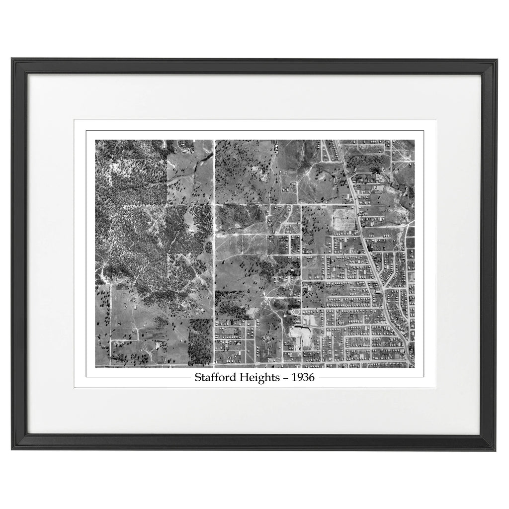
Home Stafford
The list of streets covered in the suburb of Stafford can be found here.
More maps coming soon!
Suburb Maps