Free Delivery for All Orders in Australia
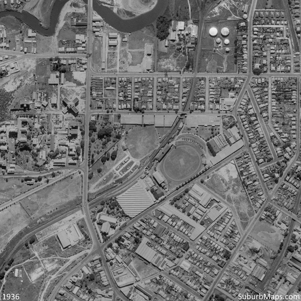
Home Bowen Hills
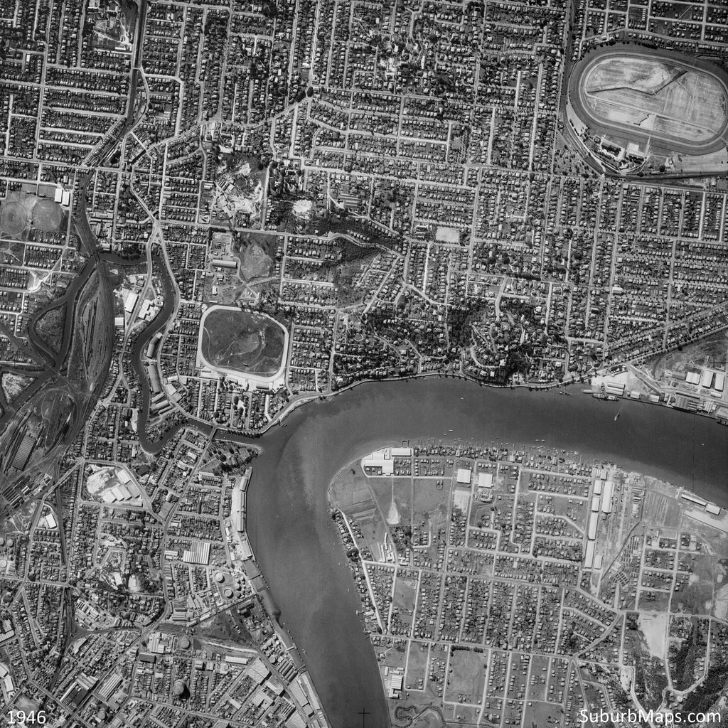
The list of streets covered in the suburb of Bowen Hills can be found here.
More Bowen Hills maps are coming soon!
Suburb Maps